
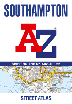
Southampton A-Z Street Atlas

Printed in full-colour, paperback format, this atlas contains 50 pages of continuous street mapping.
The main mapping extends beyond central Southampton at a scale of 4 inches to 1 mile, featuring postcode districts, one-way streets, park and ride sites, and safety camera locations. Areas covered include:
- Eastleigh
- Fawley
- Hythe
- Romsey
- Southampton Airport
- Totton
- Chandler's Ford
- Hamble-le-Rice
- Hedge End
- North Baddesley
The large-scale street map of Southampton city centre - at a scale of 8 inches to 1 mile - includes:
- Postcode map of the Southampton area
- Road map of the Southampton area
- New Forest National Park boundaries
A comprehensive index lists streets, selected flats, walkways and places of interest, place, area and station names. Additional healthcare (hospitals, walk-in centres and hospices) are indexed as well.
Customer Reviews
ThriftBooks ® and the ThriftBooks ® logo are registered trademarks of Thrift Books Global, LLC
