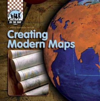
Creating Modern Maps
(Part of the On the Map Series)
This book walks readers through the improvements made to navigational instruments and printing techniques since the Age of Exploration. The development of accuracy in cartography-from Martin Waldseem ller's map of the world, the Mercator projection, and Lewis and Clark's expedition to railroad surveys, roadmaps, satellite imaging, and GIS technology-is also discussed. Readers will also discover ways mapmaking has impacted the history of the United States, including Mountain Men and the discovery of South Pass, the Oregon Trail, and the 49th parallel. Colorful maps and diagrams highlight the text, demonstrating these innovations and milestones. Informative sidebars, bold glossary terms, and an index enhance the engaging text and graphics.
Format:Library Binding
Language:English
ISBN:1599289490
ISBN13:9781599289496
Release Date:January 2008
Publisher:Checkerboard Books
Length:32 Pages
Weight:0.49 lbs.
Dimensions:0.3" x 8.0" x 8.0"
Age Range:5 to 11 years
Grade Range:Grades 3 to 6
Customer Reviews
0 rating


