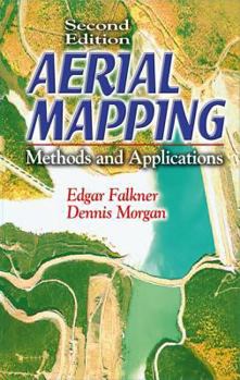
Aerial Mapping: Methods and Applications, Second Edition
Select Format
Select Condition 
Book Overview
The juxtaposed technologies of photogrammetry, image analysis, and remote sensing have become so dynamically intertwined and progressive that an easy-to-use, up-to-date resource is sorely needed. High-speed computers, scanners, and remote sensors constantly change the way mapping is done. The second edition of a bestseller, Aerial Mapping: Methods and Applications provides coverage of basic principles with updated illustrations. It highlights the significant changes in the equipment and techniques of aerial photography and photogrammetric mapping. Additional information includes other sensor technology and their respective uses in digital data capture.
Format:Hardcover
Language:English
ISBN:1566705576
ISBN13:9781566705578
Release Date:November 2001
Publisher:CRC Press
Length:216 Pages
Weight:1.05 lbs.
Dimensions:0.7" x 5.4" x 11.8"
Customer Reviews
0 rating


